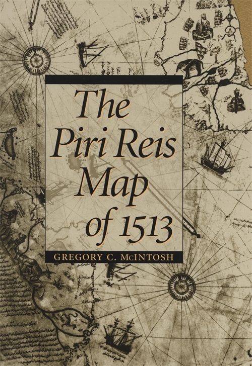
The Piri Reis Map of 1513
Title Details
Pages: 240
Trim size: 6.120in x 9.250in
Formats
Hardcover
Pub Date: 07/07/2000
ISBN: 9-780-8203-2157-8
List Price: $48.95
Related Subjects
HISTORY / Americas (North, Central, South, West Indies)
The Piri Reis Map of 1513
Skip to
- Description
- Reviews
One of the most beautiful maps to survive the Great Age of Discoveries, the 1513 world map drawn by Ottoman admiral Piri Reis is also one of the most mysterious. Gregory McIntosh has uncovered new evidence in the map that shows it to be among the most important ever made.
This detailed study offers new commentary and explication of a major milestone in cartography. Correcting earlier work of Paul Kahle and pointing out the traps that have caught subsequent scholars, McIntosh disproves the dubious conclusion that the Reis map embodied Columbus's Third Voyage map of 1498, showing that it draws instead on the Second Voyage of 1493-1496. He also refutes the popular misinterpretation that Reis's depictions of Antarctica are evidence of either ancient civilizations or extraterrestrial visitation. McIntosh brings together all that has been previously known about the map and also assembles for the first time the translations of all inscriptions on the map and analyzes all place-names given for New World and Atlantic islands. His work clarifies long-standing mysteries and opens up new ways of looking at the history of exploration.
This is an excellent and important work of scholarship. McIntosh is to be commended on the breadth and discipline of the research that is reflected in his well written book.
—Louis De Vorsey, Past President, Society for the History of Discoveries